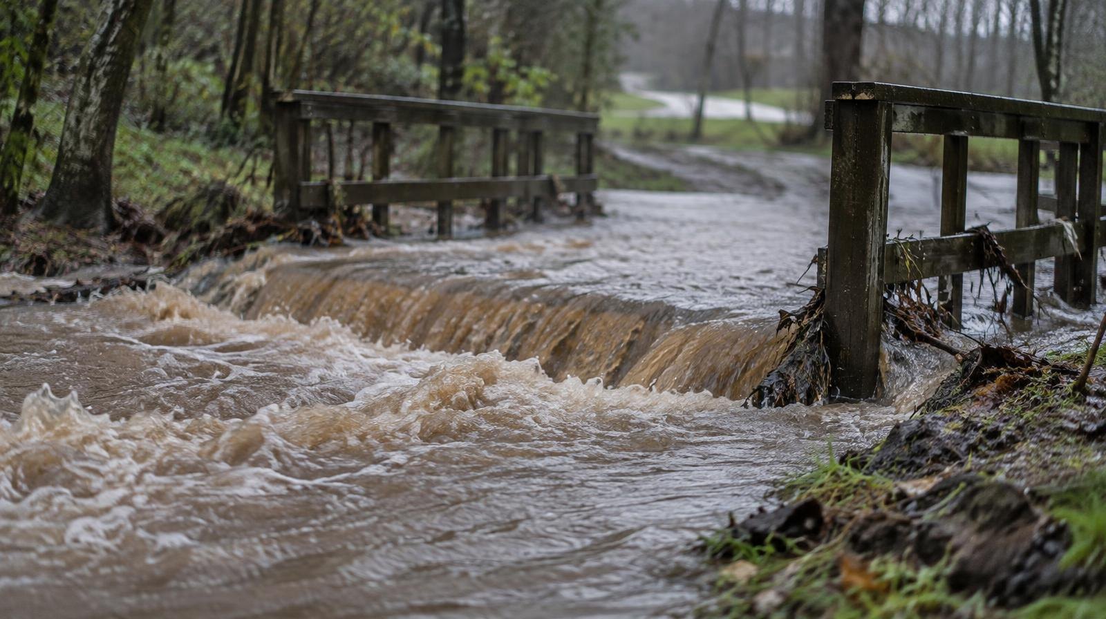
The remnants of Hurricane Isaias are forecast to bring heavy rain and possible flooding to Doylestown, Buckingham, and New Britain starting Sunday afternoon, Oct. 11.
The National Weather Service's forecast for Doylestown calls for a 70% chance of showers Sunday, mainly after 2 p.m., rising to 90% Sunday night. AccuWeather projects the heaviest rainfall will arrive in eastern Pennsylvania around 8 p.m. Sunday, with 1 to 4 inches possible across the mid-Atlantic region. The NWS point forecast for Doylestown shows a quarter to half inch for Sunday daytime alone; final totals will depend on how the remnants track overnight.
Isaias is the first hurricane of the 2026 Atlantic season. AccuWeather Lead Hurricane Expert Alexander DaSilva called it "the latest forming first hurricane in the Atlantic Basin, breaking the previous record set by Hurricane Four in 1905 by 3.5 hours."
The hurricane is expected to make landfall along the Gulf Coast Friday night, Oct. 10, then turn northeast across the Appalachians. By Sunday, its remnants will carry tropical moisture into the Philadelphia region as a weakened rainstorm.
The NWS Philadelphia office noted that steady rain will develop Sunday as the remnants arrive. Friday and Saturday are expected to be dry and sunny in Doylestown, with highs near 71 degrees, before clouds build Saturday night.
Flooding risk on saturated ground
AccuWeather warned that the biggest threat is heavy rainfall leading to flooding, particularly where the ground remains saturated from rain earlier in the week. The Neshaminy Creek, which flows through New Britain Township, Doylestown Township, and Buckingham Township, has a history of rising sharply during tropical systems. During Hurricane Floyd in September 1999, the creek rose more than 10 feet above normal levels.
NWS meteorologist John Bowen told PennLive that steady rainfall could last throughout Sunday and into early Monday morning. "As long as the system is continuing to move and not stall out over us, then I think we'll be pretty okay," Bowen said.
No flood watch is in effect.
CBS Philadelphia forecast 1 to 2 inches for the region, with localized ponding, flash flooding, and scattered thunderstorms possible.
No county alert yet
As of Friday, Oct. 9, the Bucks County Emergency Management Agency had not issued an advisory specific to Hurricane Isaias. In a January 2024 severe weather alert, the county agency warned that flooding is likely along the Neshaminy Creek and in low-lying areas during heavy rain, and reminded residents not to drive through flooded roadways.
Residents can monitor updates from the NWS Philadelphia office and from Bucks County Emergency Management. The agency, led by Director George E. Wilson IV, can be reached at 215-340-8700.